
Leave the Keys at Home: England’s Countryside by Rail and Foot
Designing a Seamless Rail Backbone
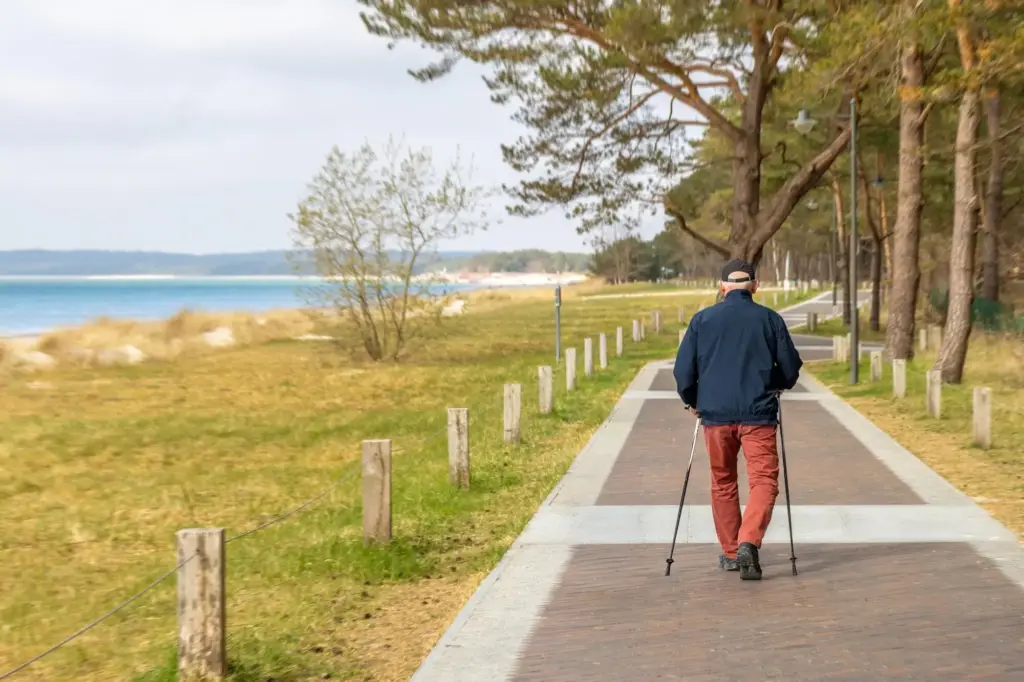

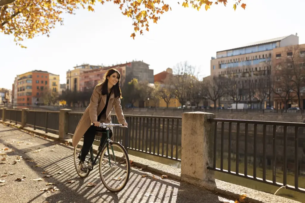
Mastering Public Footpaths and Rights of Way
Understanding Waymarks, Stiles, and Gates
Yellow arrows mark public footpaths, blue arrows mark bridleways, and white‑on‑black acorns denote National Trails. Expect stiles, kissing gates, and waymarked posts where paths cross walls or hedges. Keep dogs under close control near livestock, close gates behind you, and follow the trodden line across cropped fields, remaining vigilant for seasonal path diversions around sensitive habitats.
Maps, Apps, and Legal Lines on the Ground
Carry OS Explorer sheets or use the OS Maps app with downloaded areas for signal‑poor valleys. Dashed green lines show footpaths; longer dashes highlight bridleways; open‑access land appears with yellow tint and brown edge. GPX routes help, yet a paper map plus compass keeps you independent when batteries fade or woodland canopies confuse GPS reception on cloudy days.
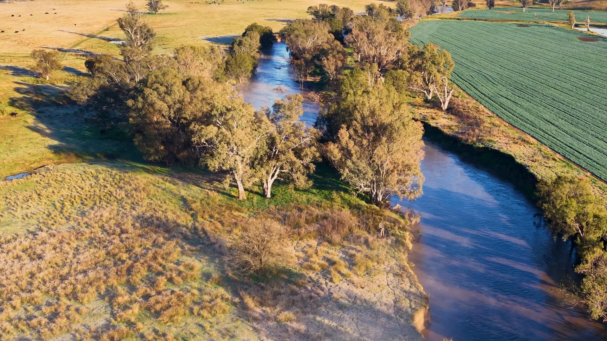
Countryside Code, Wildlife, and Farming Rhythms
Paths cross working landscapes. During lambing, calving, and nesting seasons, give animals space and remain calm and steady. Stick to the line even when desire paths tempt shortcuts. Leave no trace, avoid lighting fires, and pack out litter. A considerate pace through fields and lanes nurtures goodwill, preserves habitats, and welcomes future walkers who follow your footsteps.
Three Car‑Free Weekend Blueprints
Where to Sleep Within a Short Walk of the Platform
Eat Locally, Pack Snacks Wisely

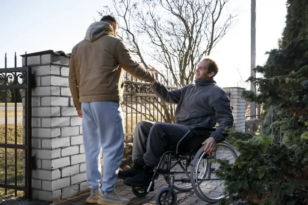
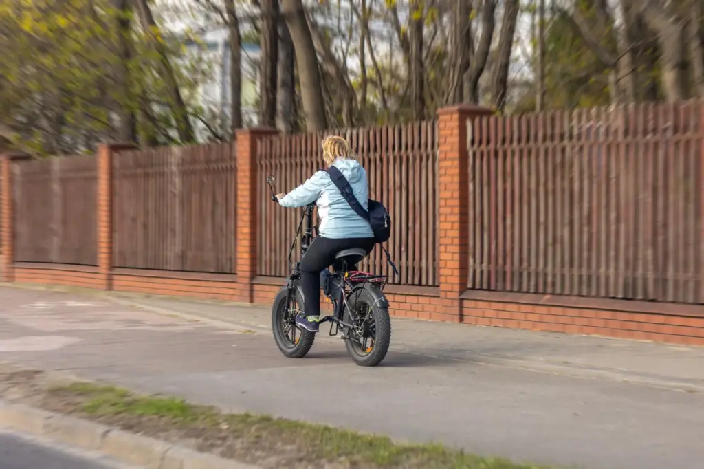
Travel Light, or Arrange a Gentle Assist
Weatherproof, Safe, and Smooth
Walk Lightly, Give Back, and Stay Connected
Support the Places You Visit
Choose independent cafés, refill shops, and family‑run inns near stations. Donate to path‑care initiatives like The Ramblers or National Trails partnerships. Leave considerate reviews that mention walkability and footpath access. A few mindful pounds nudge communities to keep platforms welcoming, gates mended, and village greens lively for the next pair of muddy, smiling boots.
Care for Paths and Each Other
Step single file through crops, yield kindly on narrow bridges, and keep voices low near cottages at dawn. Pack out every scrap, including biodegradable litter. Dogs belong close and calm around livestock. If a path is waterlogged, widen as little as possible. Courtesy expands the path for everyone, even where hedges grow tight and stiles creak weathered greetings.
All Rights Reserved.